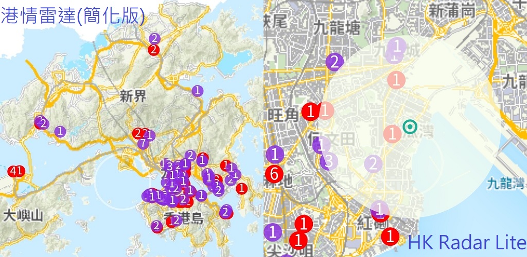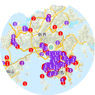
使用港府衛生防護中心公佈的本港近期確診/疑似個案居所和到訪地址資料, 結合政府地政署提供的地圖支持, 用戶可以及時直觀地瞭解香港的疫情資訊.
此程式是簡化自我們之前開發"港情雷達"程式, 提供最為簡單易用的方法瞭解香港疫情, 使用政府免費地圖資料, 可以無需手機權限, 安裝使用本程式, 幫助瞭解香港的疫情資訊.
注意事項:
本程式地圖資料經由互聯網從政府地政總署香港地理數據站獲取, 地圖資料數據可能相對較大(高精度放大地圖會使用更多資料), 下載(一次性)需要一定數據流量, 初期使用程式時, 可以在WLAN(WiFi)連接情況下操作, 避免使用手機流量.
主要功能:
- 政府地政署地圖支持, 顯示每日疫情涉及地點位置全貌
- 地圖支持10級縮小放大
- 點擊疫情涉及地點, 可以顯示詳情
- 每日疫情數據更新
- 雷達地圖模式: 可以選擇觀察地點及調整觀察範圍, 靈活查看周圍疫情狀況
- 雷達地圖模式: 可以預先設置存儲3個觀察地點, 快速查看該處疫情狀況
This App can provide current epidemic Information and the situation in the map view of Hong kong, all based on the daily confirmed case information of CHP(Centre for Health Protection of HK) and the map data from Lands Department SAR HK. It is the lite version of our “HK Radar” App, for easy use and better protection of user privacy, thanks for free map data support from Lands Department of SAR HK, this App needs no permission for installation and operation.
Main functions:
- Using Lands Department Map data for situation view of HK every day
- Map can zoom in and out for 10 levels
- Can check relevant building information with the confirmed case
- Update data of buildings with confirmed cases every day
- Radar map mode: can select observation location and adjust range to check situation nearby
- Radar map mode: can set 3 preset place for fast check the situation concerned
含廣告內容/Contains Ads
運行環境(System requirements): 安裝允許Google Play, Google Drive雲服務/Support by Google Play, Google Drive/Android 最低版本需求4.1及以上

